Main content

Irrigating from space: how remote sensing technology can make a difference

Improving agricultural water use is vital, as irrigated agriculture already accounts for 70 per cent of global water withdrawals in a world where water is becoming increasingly scarce, driven in part by population growth and climate change.

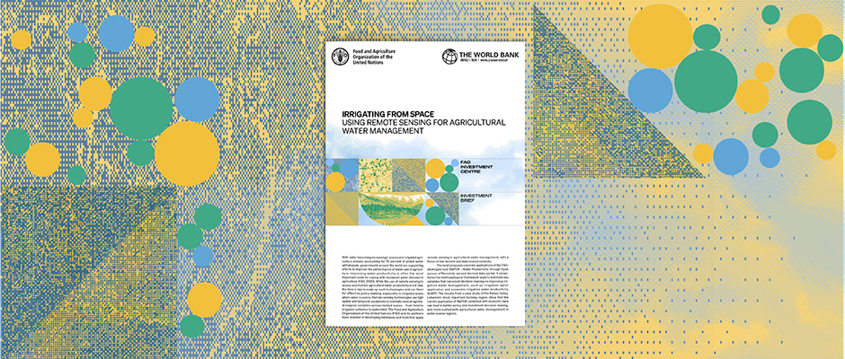
Publication cover

Published jointly by the Food and Agriculture Organization of the United Nations (FAO) and the World Bank, a new investment brief titled Irrigating from space: using remote sensing for agricultural water management specifically looks at the use of the FAO-developed WaPOR – Water Productivity through Open access of Remotely sensed derived data portal.
 
Thanks to near real-time satellite data, this tool can help countries monitor water productivity and identify and reduce water productivity gaps. According to the brief’s authors, the correct application of WaPOR combined with economic data can lead to better policy and investment decision-making and more sustainable agricultural water management in water-scarce regions.
 
Using Lebanon’s Bekaa Valley as a case study, the brief’s authors applied a five-step methodology to calculate economic irrigation water productivity for irrigated wheat and potato crops over five years. Such an approach can be applied to any water-scarce system and contribute to water productivity assessments in data-scarce contexts.
 

Contact Us

For media and interview requests, contact us on: unwater@un.org mentioning [Media request] in the subject heading.

News and Media

Get the latest news from UN-Water; Understand what is happening around the 2030 Agenda for Sustainable Development; Interact in our campaigns; Explore newly released publications and where events are taking place around the world.